

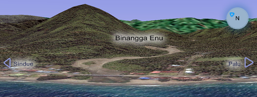
Enu Deposit, Indonesia
Summary of Exploration
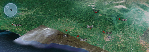
Geographic Coordinates:
Enu1 : E 0° 32' 03" - N 119° 48' 11"
Enu2 : E 0° 32' 03" - N 119° 53' 11"
Enu3 : E 0° 34' 50" - N 119° 53' 11"
Enu4 : E 0° 34' 50" - N 119° 49' 11"
Enu5 : E 0° 33' 25" - N 119° 49' 11"
Enu6 : E 0° 33' 25" - N 119° 48' 11"
Concession Area: 3,760 hectares (approx. 37.6 sq. km)
Metallury: Placer Mining
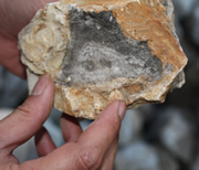
From our preliminary survey, the Enu concession shows great economic potential. The stream sediments collected from the middle and southern creeks have significant gold (Au). Pyrite specks were observed in areas on the stream bottoms and accumulated in areas behind rocks and below the rapids. In addition, gold grades in the alluvial sediments were also seen on the banks. The bank material will have been deposited during periods of higher turbulent water from a greater catchment area resulting in possible dilution of the gold bearing gravels.
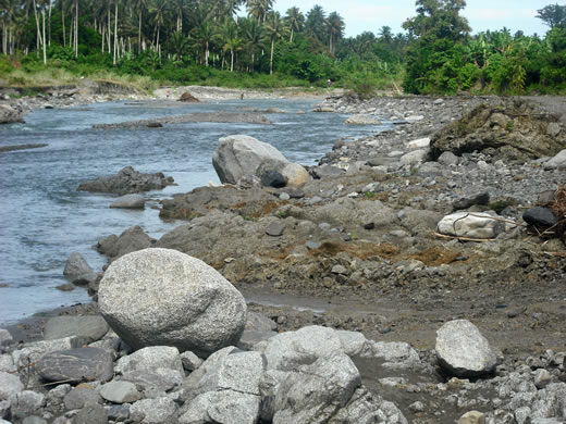
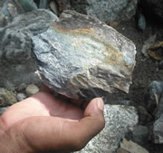
The epithermal pyritic quartz boulders found and sampled in the stream beds in the Enu concession were attractive but the Au bearing quartz source is likely located uphill somewhere between the southern and middle creeks.